LAS HUELLAS DEL AGUA / WATERMARKS:
Un documental transmedia y cartográfico / A transmedia spatial documentary
Acerca del proyecto:
Más información está disponible en nuestro sitio temporal aquí.
About the project:
I am currently coordinating an ongoing, collaborative transmedia project with Mexican colleagues which seeks to explore the unequal suffering caused by urban flooding in Mexico City – but also how the drainage system perpetuates this inequality. The project combines spatial mapping and multimedia (produced by both the project team and communities) in a web platform to generate a dynamic, interactive way for the public to understand both the complex ways flooding works and the suffering it causes. We hope to launch the site in mid-2021. A skeleton of the website is available here. (At the moment it has only placeholder data - we will be adding more content and improving the graphic design and interface over the coming months.) A placeholder site with information in Spanish about the project is here.
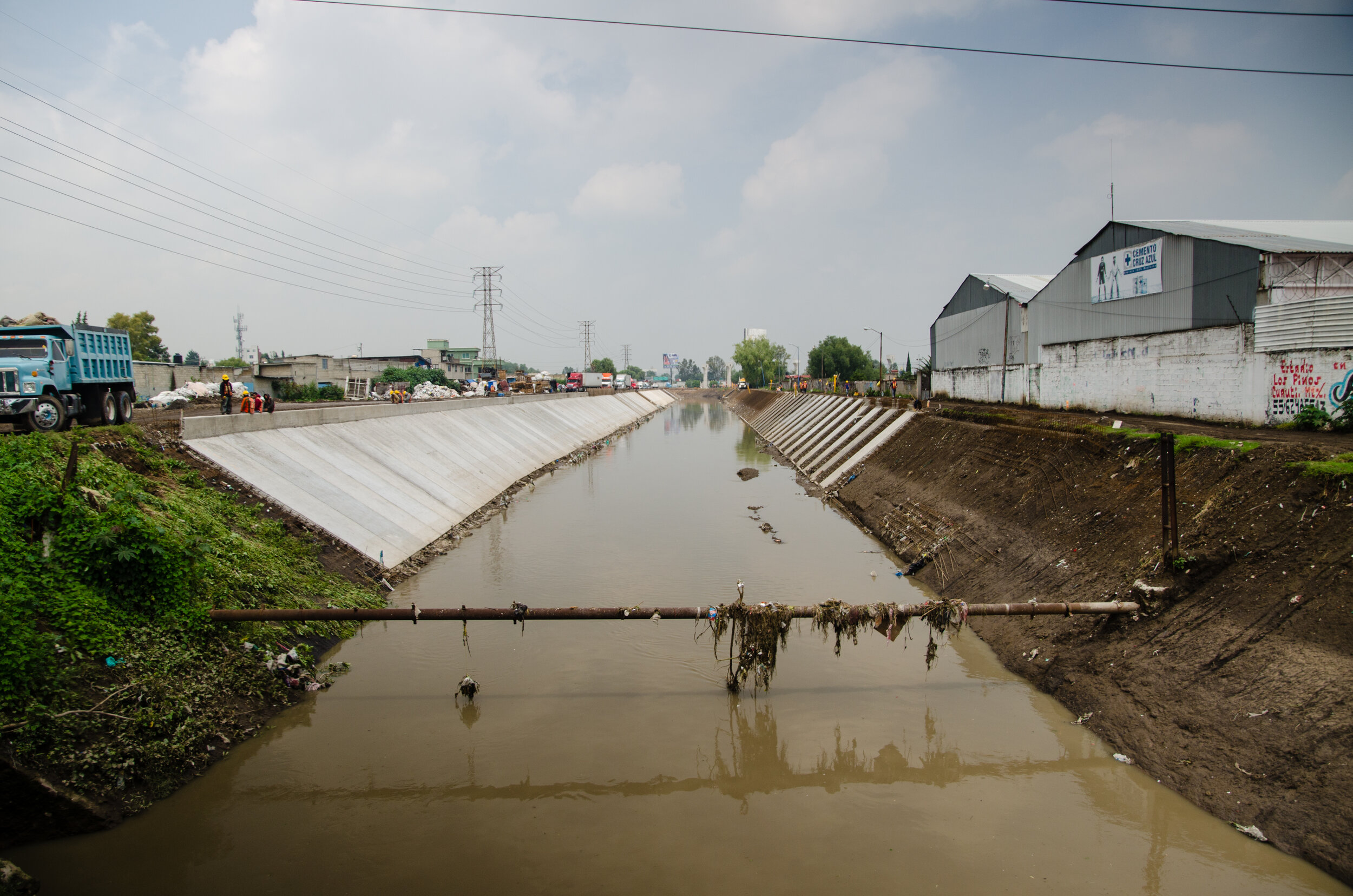
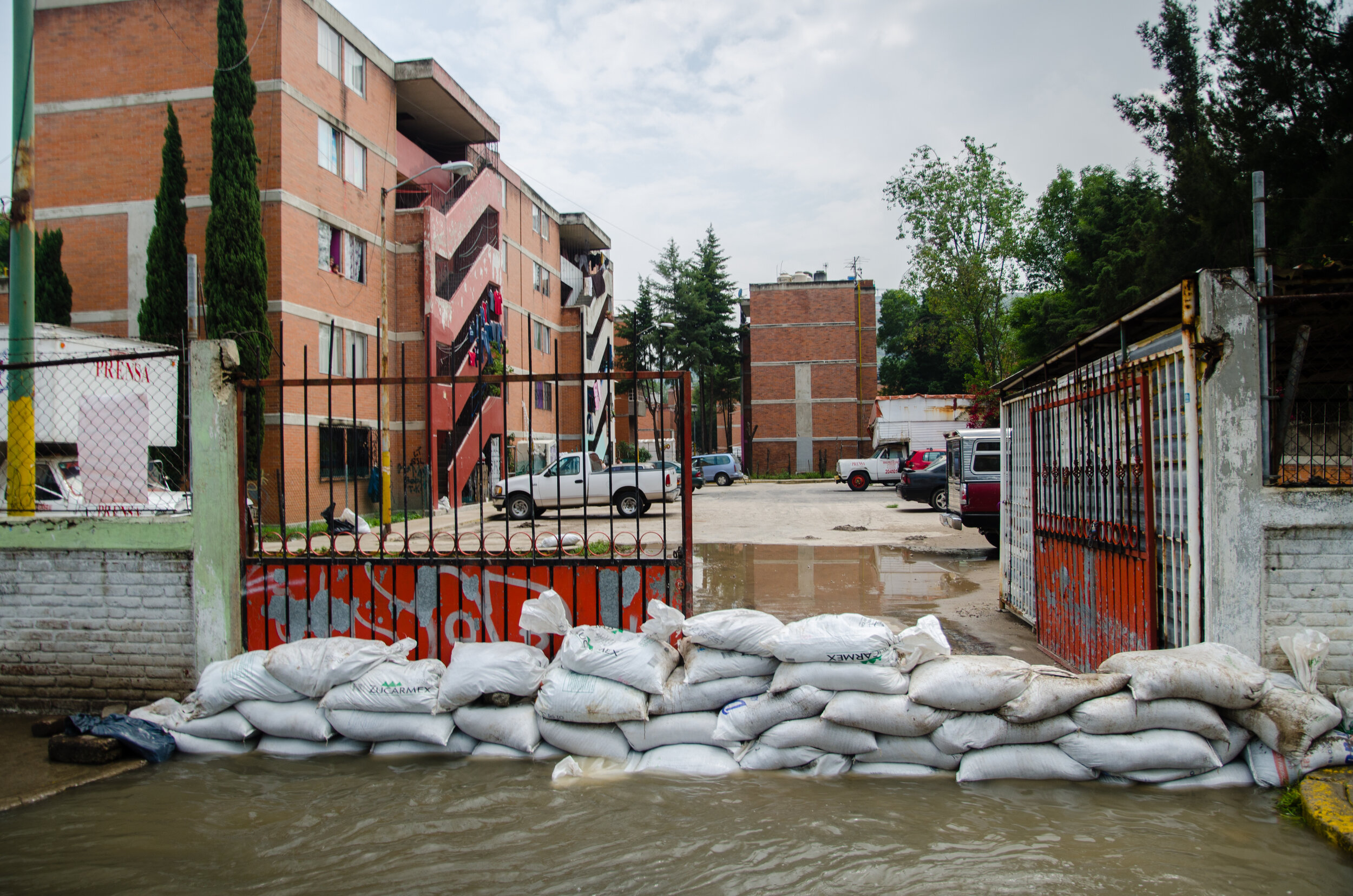
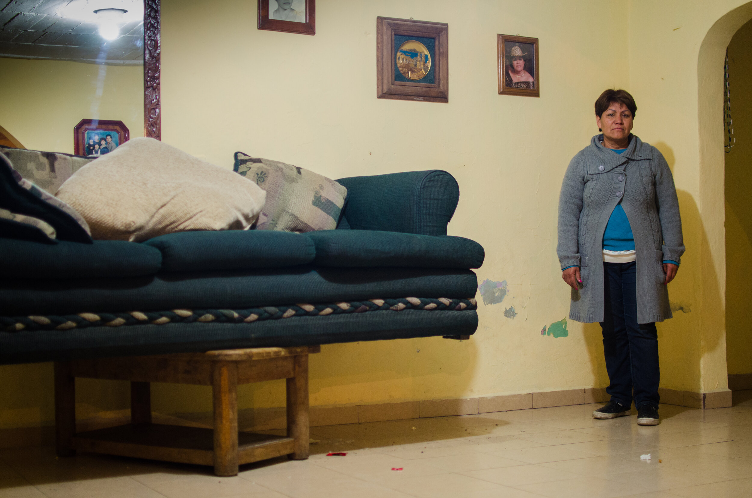
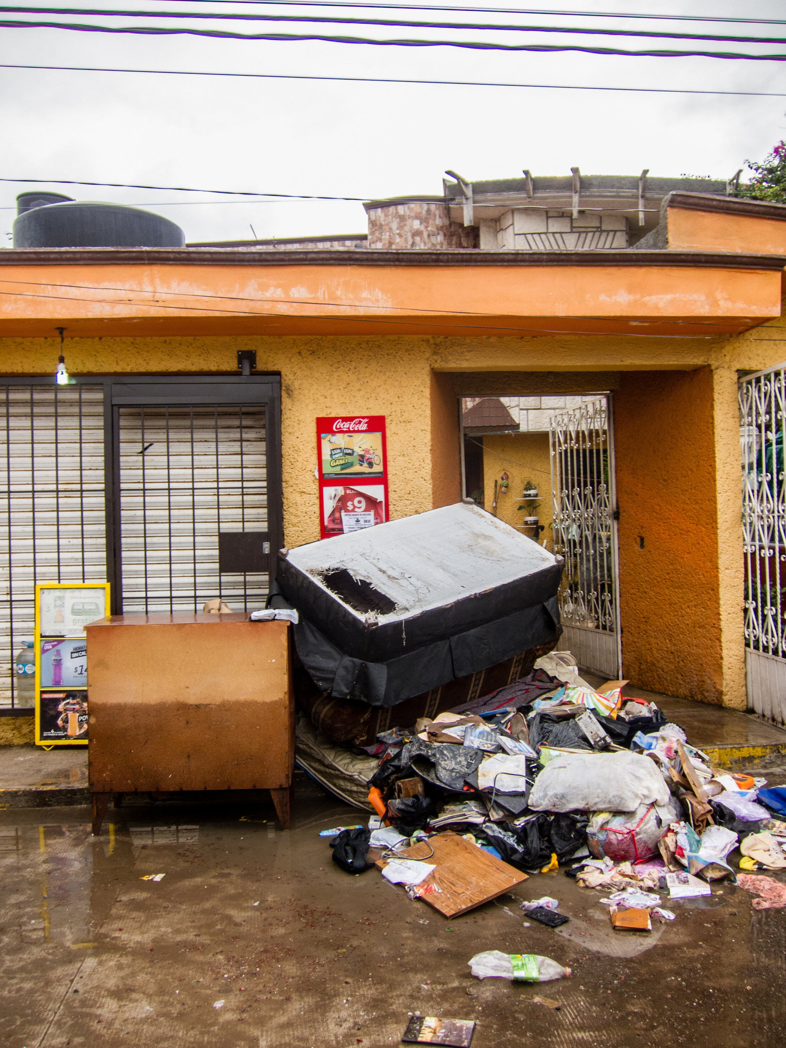
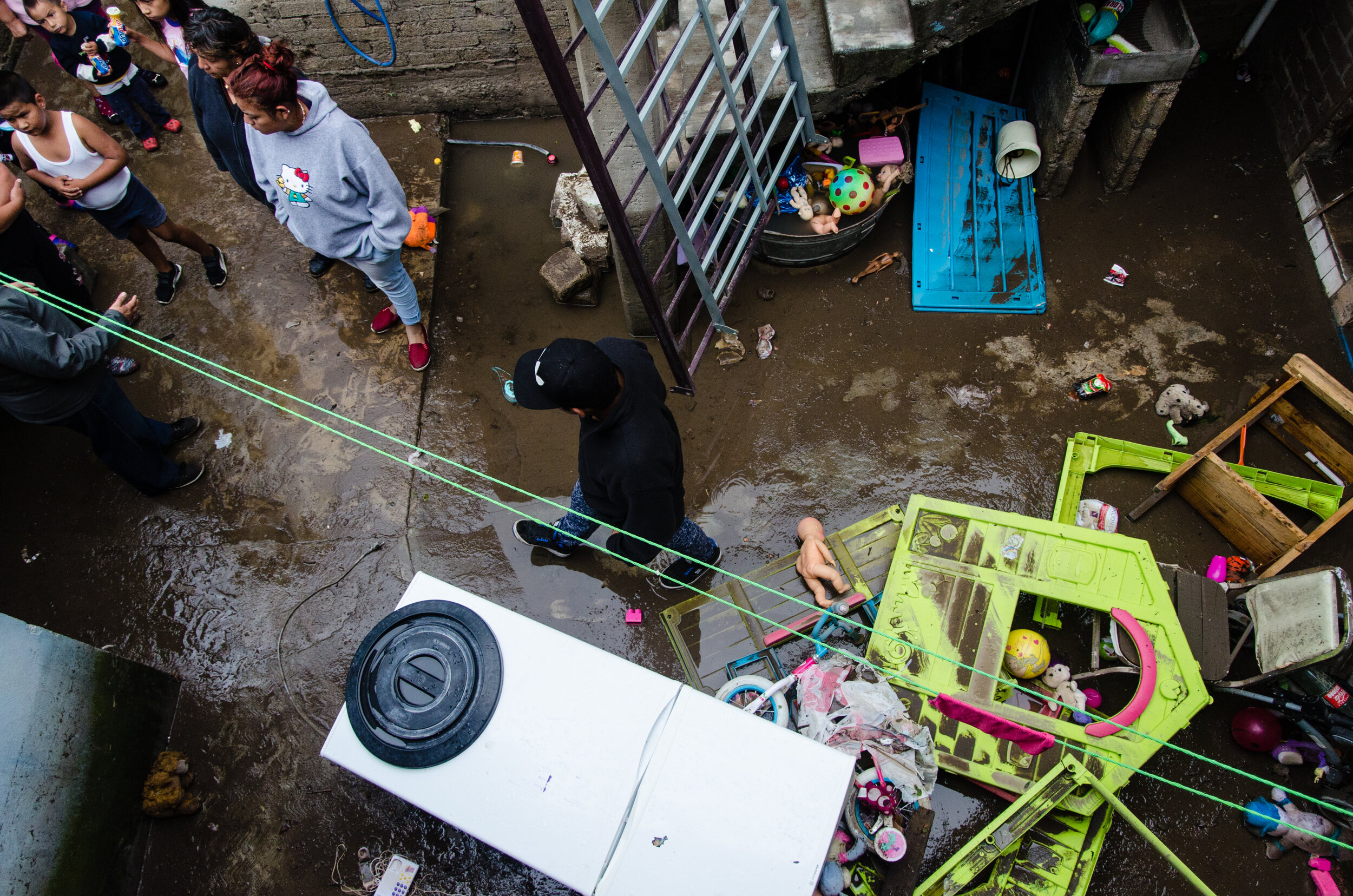
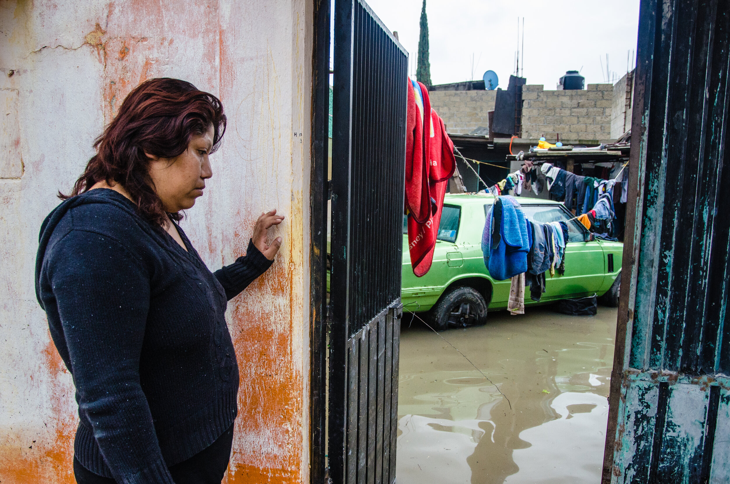
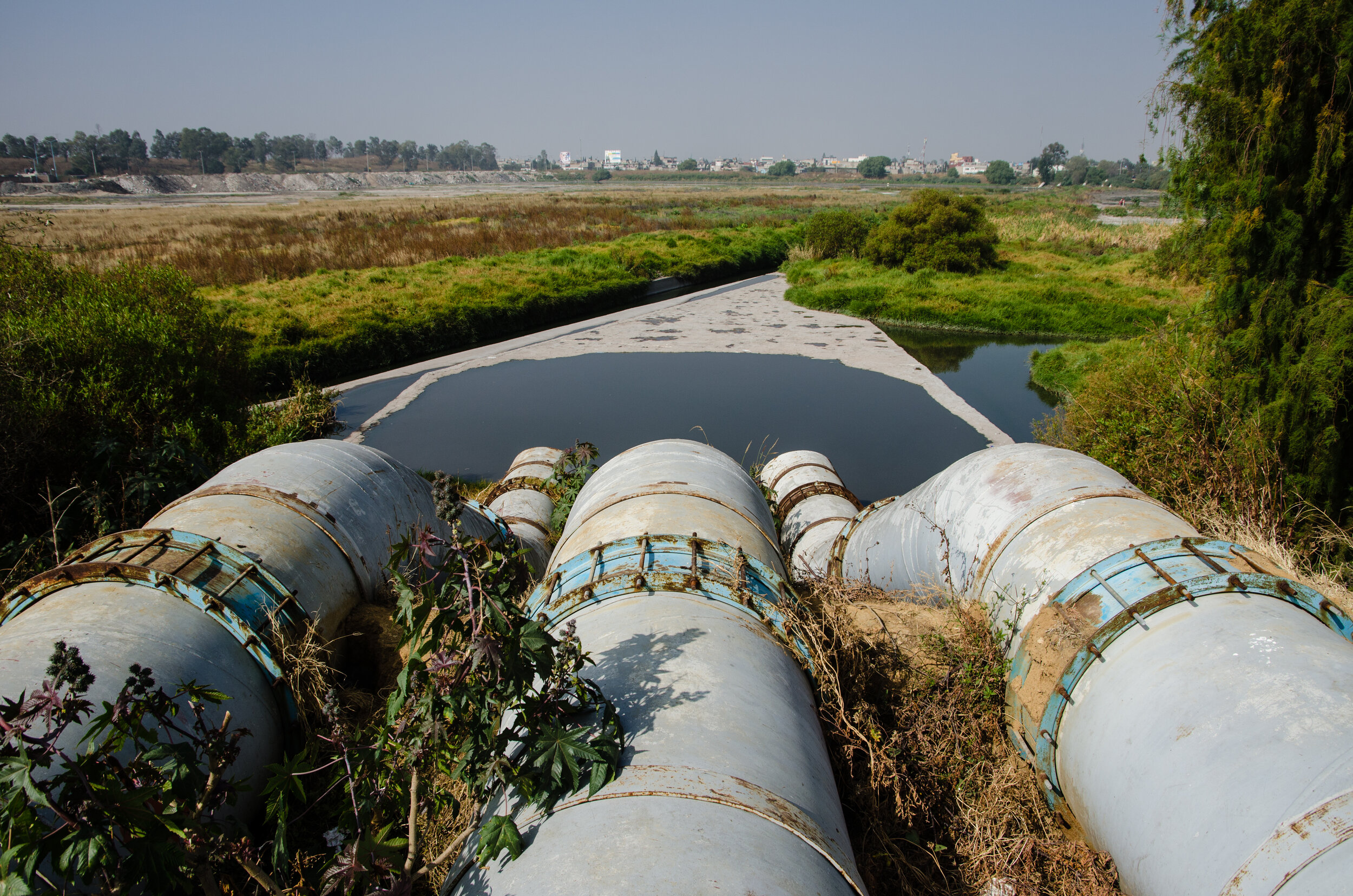
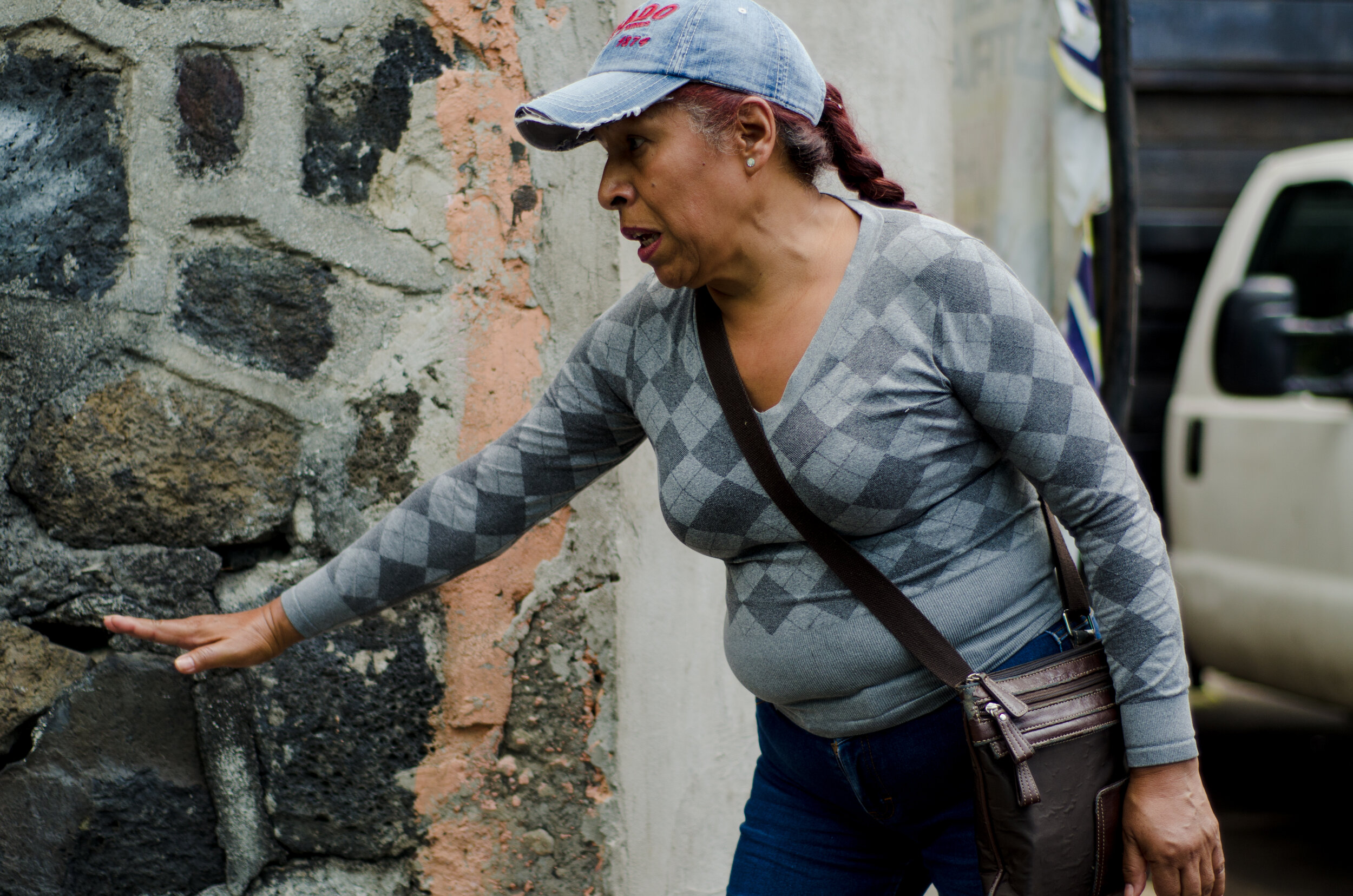
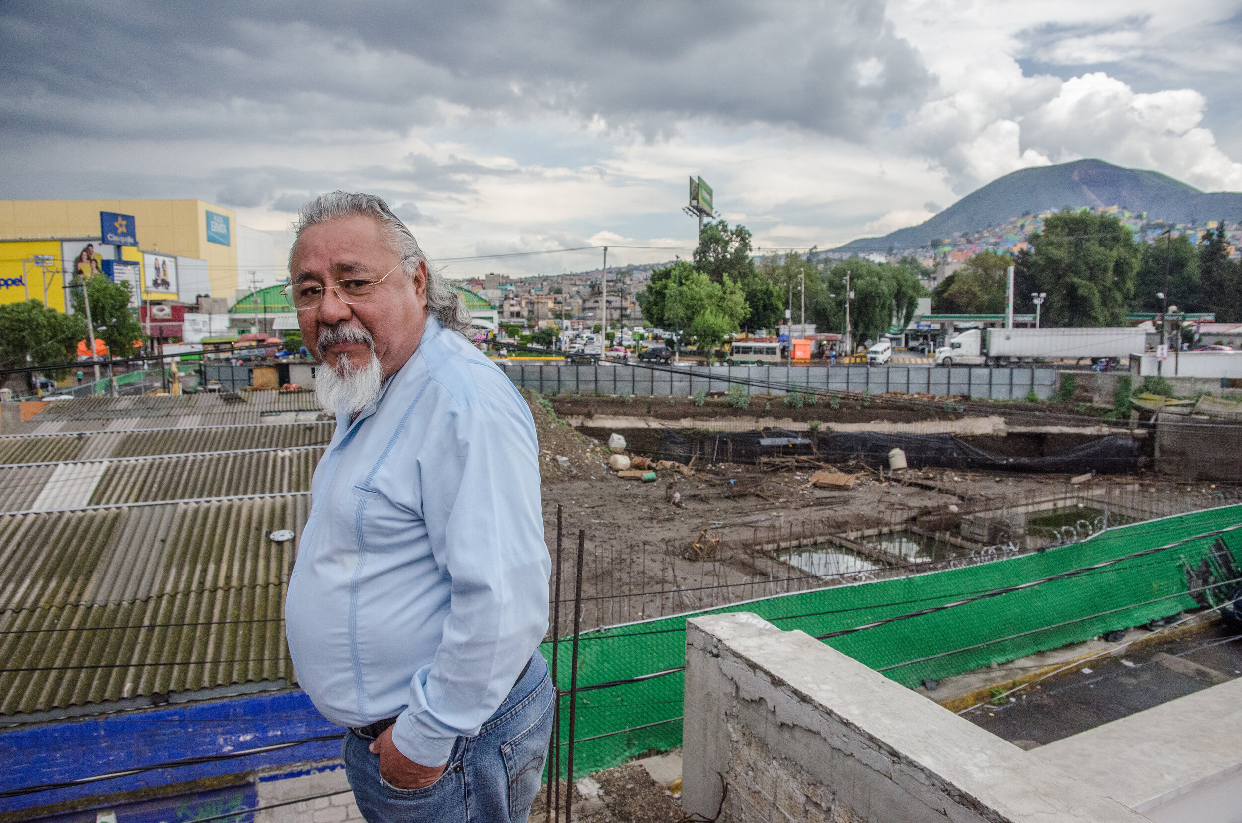
This project is an experiment in making visible the ephemeral and mundane disaster of urban flooding on the peripheries of Mexico City. Low-level floods are frequent and at times devastating for the poor, but like many disasters of the Anthropocene, their occurrence has become so normalized so as to cease to be “news.” In part, this is because urban flooding is a phenomenon that is unpredictable and highly dispersed in time and space. Capturing floods in the moment is rarely possible – and even those images fail to grasp the impacts, extent, or causes of the disaster. What is left for a photographer instead are the traces left behind, the marks of floodwaters on people’s lives, bodies, and in the built environment.
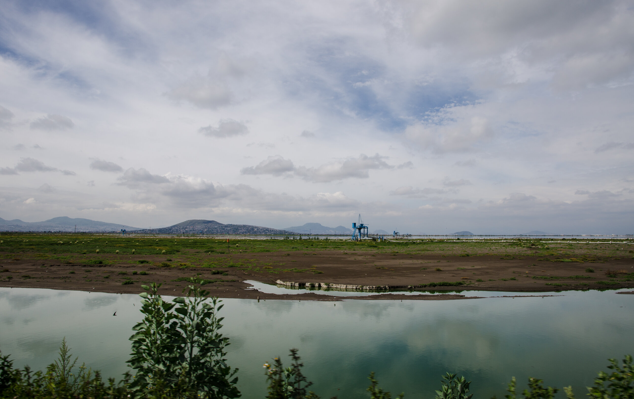
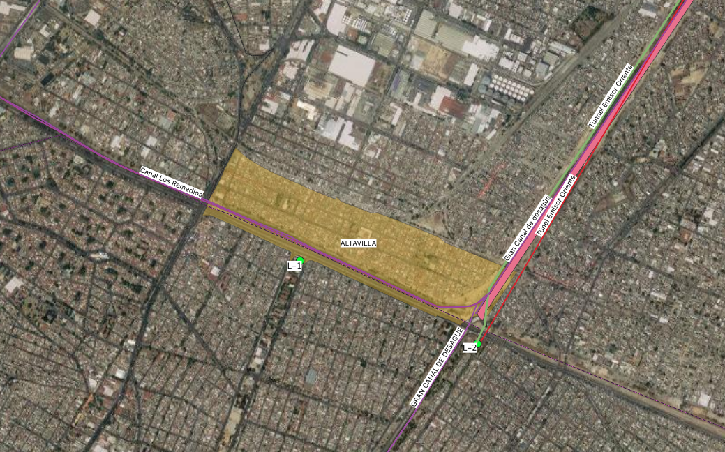
This project connects these disparate marks left behind by floodwaters across the city by following the drainage infrastructures which connect them. Deep below Mexico City lies an entire underground world of drainage tunnels, which allow the city to prevent large-scale flooding downtown by sacrificing instead the poor periphery. We follow the material traces of the system that surface, at times in unexpected and banal forms, and show how the system connects communities across the sprawling metropolis, tying them to a failed – and deeply unequal – hydraulic paradigm.
The project is a collaboration between filmmakers, cartographers, and researchers, including Alejandra Hernández, Juan Manuel Garcia, María Ruiz, Alexia Macario, and myself.

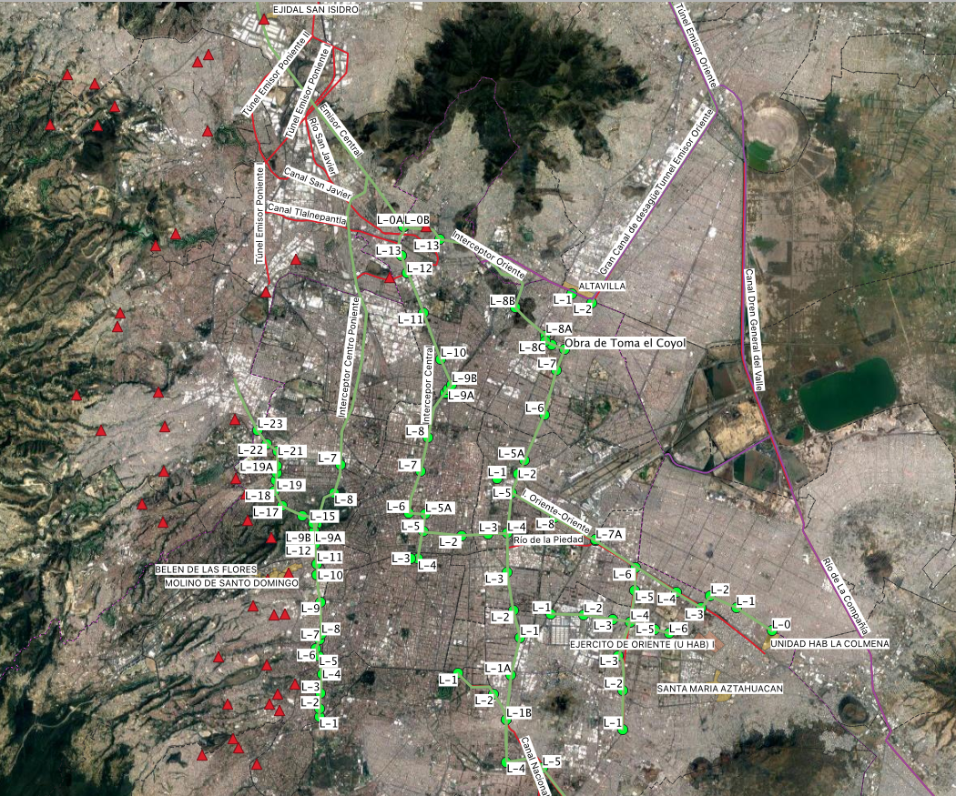
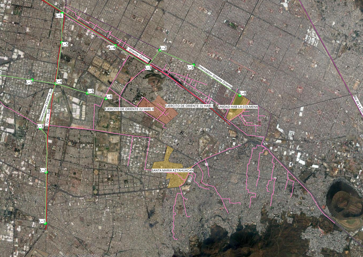
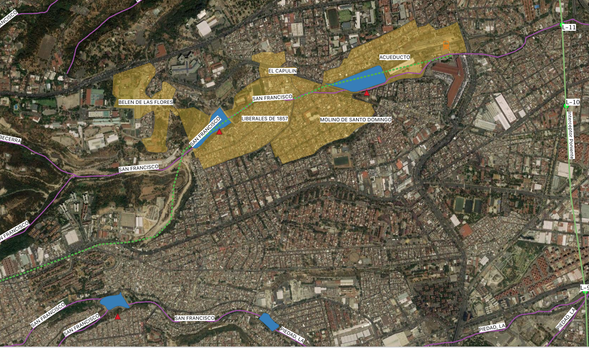
A map (still in progress) of the Deep Drainage system’s tunnels (green) and major dams (red).